SAINT MARTIN: Our ideas for (re)discovering Pic Paradis!
Pic Paradis is a mountain of Saint-Martin whose summit reaches 424 meters in altitude, making it the highest point of the island.
The qualifier “peak” is singular to him since all the other mountain peaks of the island are called “mounts” or “hills”.
Even if it culminates only at 424 meters of altitude (compared to the Grande Soufrière (Guadeloupe), which, for example, reaches 1467 meters), Pic Paradis offers a very pretty panorama on the Caribbean Sea as well as on Marigot, the capital of the French part of St Martin or on Orient bay and Philipsburg (capital on the Dutch side).
What can you see at Pic Paradis?
If you choose to hike, there is a good chance that you will be able to observe butterflies and vervet monkeys but also iguanas which are increasingly numerous to hide in the trees.
The path requires good shoes because it is often steep but it is worth the detour (believe us!).
Once at the top, you will be able to enjoy the panorama on Marigot but also on the whole Orient Bay and you will even be able to see St Barth and the surrounding islands (if the weather is clear).
A paradise for hikers…
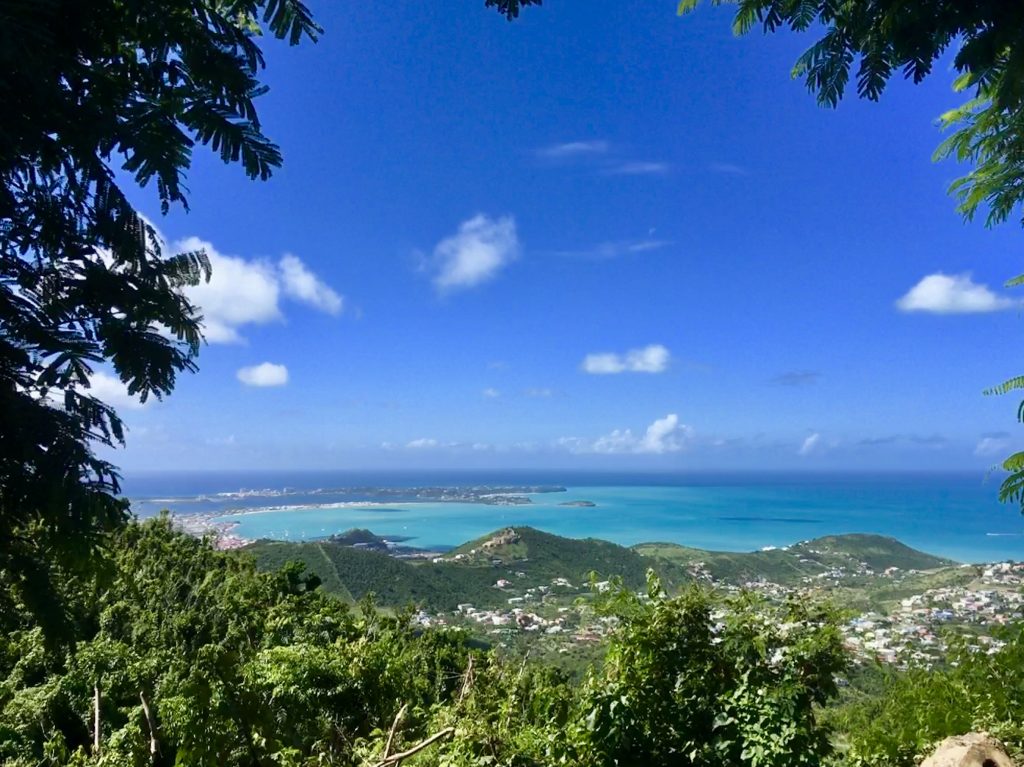
By crossing Pic Paradis on foot, nature and hiking lovers will discover a lush tropical flora.
In winter, the weather is quite cool and the wind is quite strong.
This mountain is notably a starting point for several hiking trails on the island’s crests :
- Northeast Ridges
Distance : 4.5 km – Difference in altitude : 410 m – Start : Pic Paradis – Finish : Baie Orientale
Before crossing the RN7, the path crosses the abandoned hamlet of Petit-Fond, where ruins and tombs are still visible.
- Central ridges
Distance: 6.5 km – Difference in altitude: 155 m – Start: Pic Paradis antenna – Finish: Mont des Accords and Mont Saint-Peters antenna
The trail follows the ridge line as closely as possible. Beware, in rainy weather, this hiking trail may become impassable. Before reaching the Mount of Accords, a long stone wall marks the border between the two parts of the island.
- Well of Eden
Distance: 3.5 km – Difference in altitude: 215 m – Start: West branch of Pic Paradis – Finish: Pic Paradis
The path follows a gully on the north side of Pic Paradis. Passing in front of the ruins of the Paradise sugar factory and in front of a well with two large cast iron kettles. The path then goes up towards the ridges.
If you choose to drive as close to the summit as possible, you will essentially see the west side of Sint Maarten.
The ” Lottery Farm “, a green setting
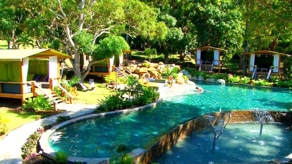
At the foot of Pic Paradis, you will discover the Loterie Farm, an old sugar factory built in 1773 which ceased all activity in 1855.
It is today a place that surprises by its charm and originality.
When you are at the “Loterie Farm”, you enter the valley, in the heart of nature where the sounds, smells and freshness will offer you a great moment of escape and relaxation.
The “Loterie Farm” offers spring water pools, two treetop adventure trails, a hiking trail, as well as a restaurant and bar.
The “Villa Hibiscus”, a culinary treasure and an enchanting residence…
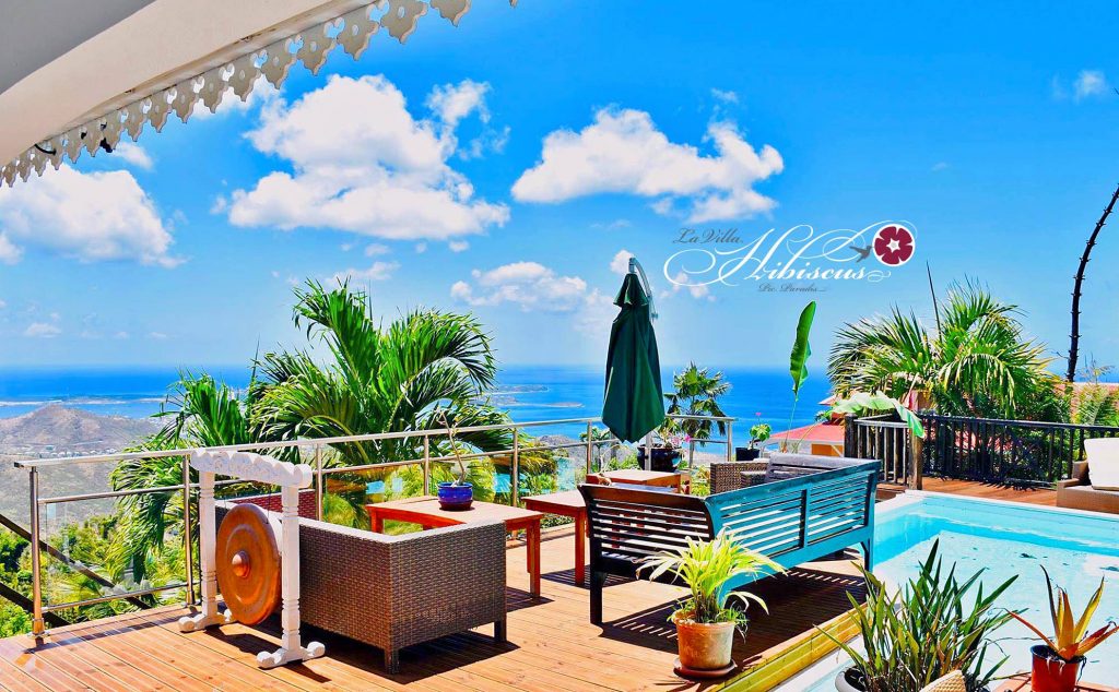
On the heights of Pic Paradis, there is also the “Villa Hisbicus”.
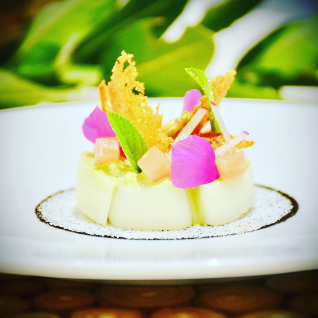
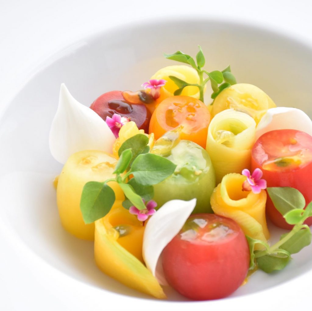
For those who don’t know, these are guest rooms that have been offering for more than a year refined, unique and above all tailor-made gourmet menus (according to the tastes, desires and allergies of the guests).
You will thus be able to enjoy an exceptional meal in a tropical charm.
https://www.facebook.com/VoyagerStBarth/posts/3564836590263061